Grey Mountain Mining Consultants
  • Home
  • About Us
  • Mine Engineering
  • Drone Services
  • CONTACT
  • More
    • Home
    • About Us
    • Mine Engineering
    • Drone Services
    • CONTACT
Grey Mountain Mining Consultants
  • Home
  • About Us
  • Mine Engineering
  • Drone Services
  • CONTACT

DRONE SERVICES

Grey Mountain Mining Consultants now offer a range of drone services in addition to our Engineering function.

Services available include - 

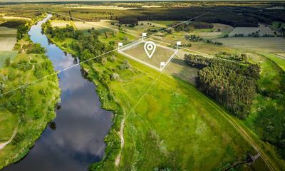
- Aerial Photography/Videography

- Mapping and land measurement

- Surface/Terrain Modelling

- Volume Measurement

- Asset Inspection

EQUIPMENT

GMMC currently utilises a DJI Mavic 3E for the majority of mapping, measurement and inspections works.  A DJI Neo is also available for indoor and tight access mapping and inspections.


Other equipment includes DJI D-RTK2 Base Station and an Emlid Reach RS+ GNSS Receiver.


GMMC is fully licenced with RePL Multi-rotor to 25kg and Aeronautical Radio Operators Certificate.

  • Privacy Policy
  • Terms and Conditions

Grey Mountain Mining Consultants

Copyright © 2025 Grey Mountain Mining Consultants - All Rights Reserved.

Powered by

This website uses cookies.

We use cookies to analyze website traffic and optimize your website experience. By accepting our use of cookies, your data will be aggregated with all other user data.

Accept